Join 8,000 Iceland Travel Fans & Unlock Exclusive Discounts
Get Iceland advice straight from a local. Subscribe and unlock exclusive discounts from 50+ hand-picked Icelandic operators.- ✔ Instant access to exclusive discount codes
- ✔ Savings on tours, car, and camper rentals
- ✔ Tips and inspiration for planning your Iceland trip
I have said it before and I say it again. One of the best things about living in the Reykjavik area are the many hiking paths close to it. The most popular one is, of course, the Mt. Esja hiking trail But there are many more. One of them is the wonderful Helgafell hiking trail
Finding the Helgafell hiking trail is tricky
Helgafell is not actually in Reykjavik proper, it is just outside the town of Hafnarfjörður. I totally get that might be tough for non-Icelanders to find it so a good trick is to get the Wapp walking app which I have already covered in the magazine. Just look for Helgafell and you will get directions. At the bottom of this article, there also directions to the Helgafell hiking trail.
Stay safe!
It is a relatively easy hike in summer but in winter it could really tough I suppose. If you are ascending it in winter I advise caution and having the proper equipment (and experience) of climbing in ice and snow. In summer you need to have good sturdy shoes with a good grip. Descending can be slightly tricky if you are not careful. I recommend you stay on the hiking trail, there is no need to test your luck in cliffs or ravines.
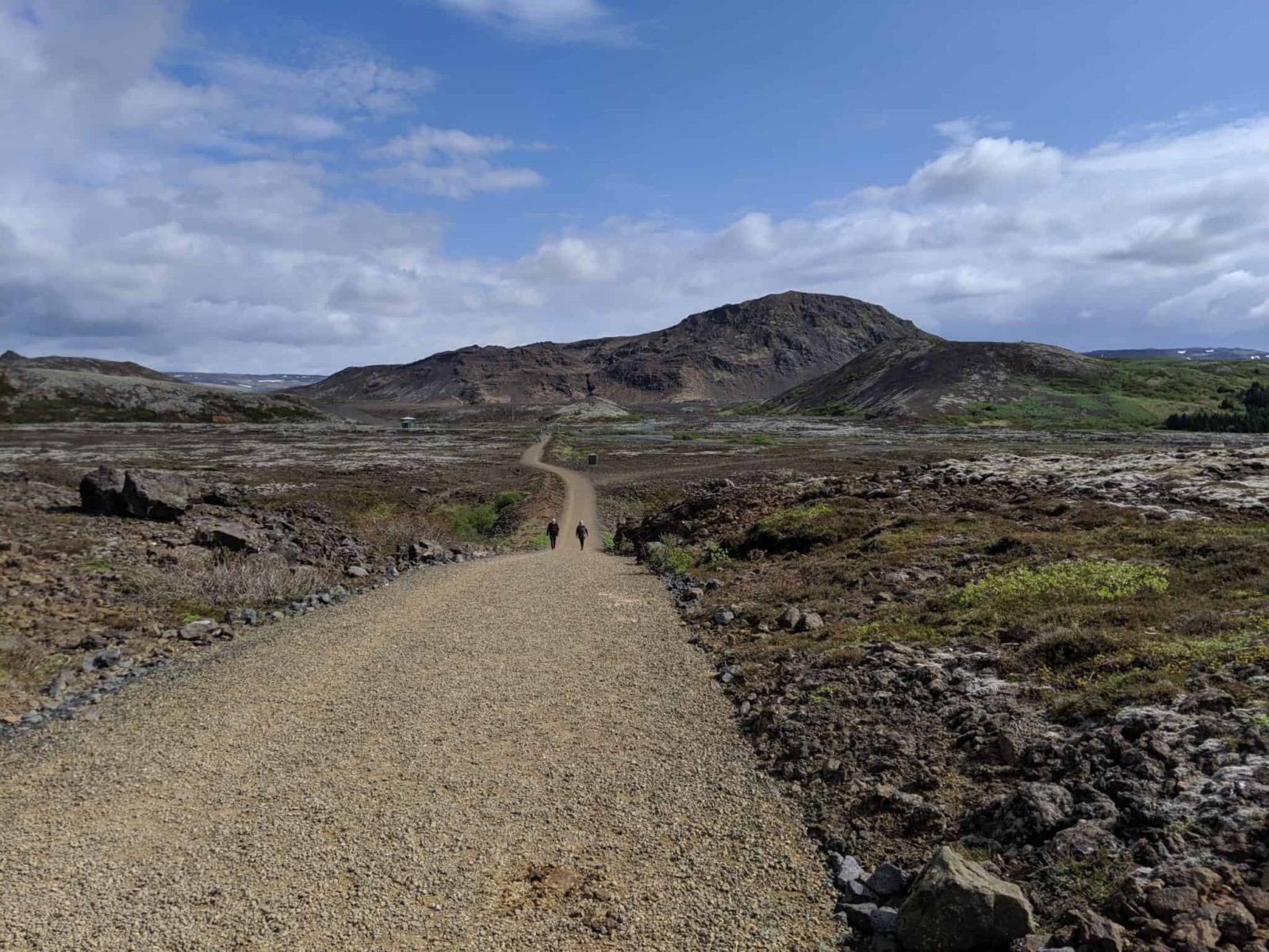
Start by the reservoir
The hike starts at the water reservoir of Hafnarfjörður town so there is absolutely no need to bring your own water. Just bring a bottle and fill it at the reservoir outflow pipes. This is generally true for Iceland, there is no need to buy water. It is delicious straight from the tab or in this case from the reservoir.
Ascend the sacred hill
Helgafell basically means ‘sacred-hill’ and it could either be that it was holy in some way in the distant past or it could simply be named after a man called Helgi. The first explanation sounds better so let’s stick with that! To get to the top and back takes perhaps about two hours, the total distance is 6,4 kilometers or some 4 miles.
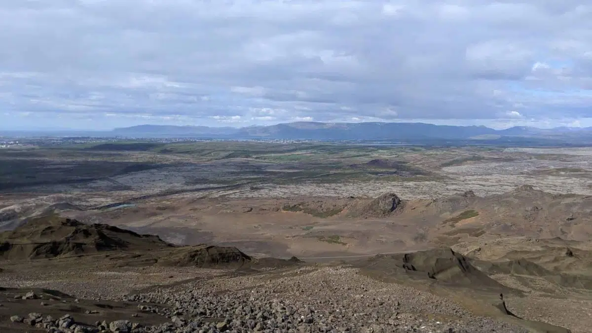
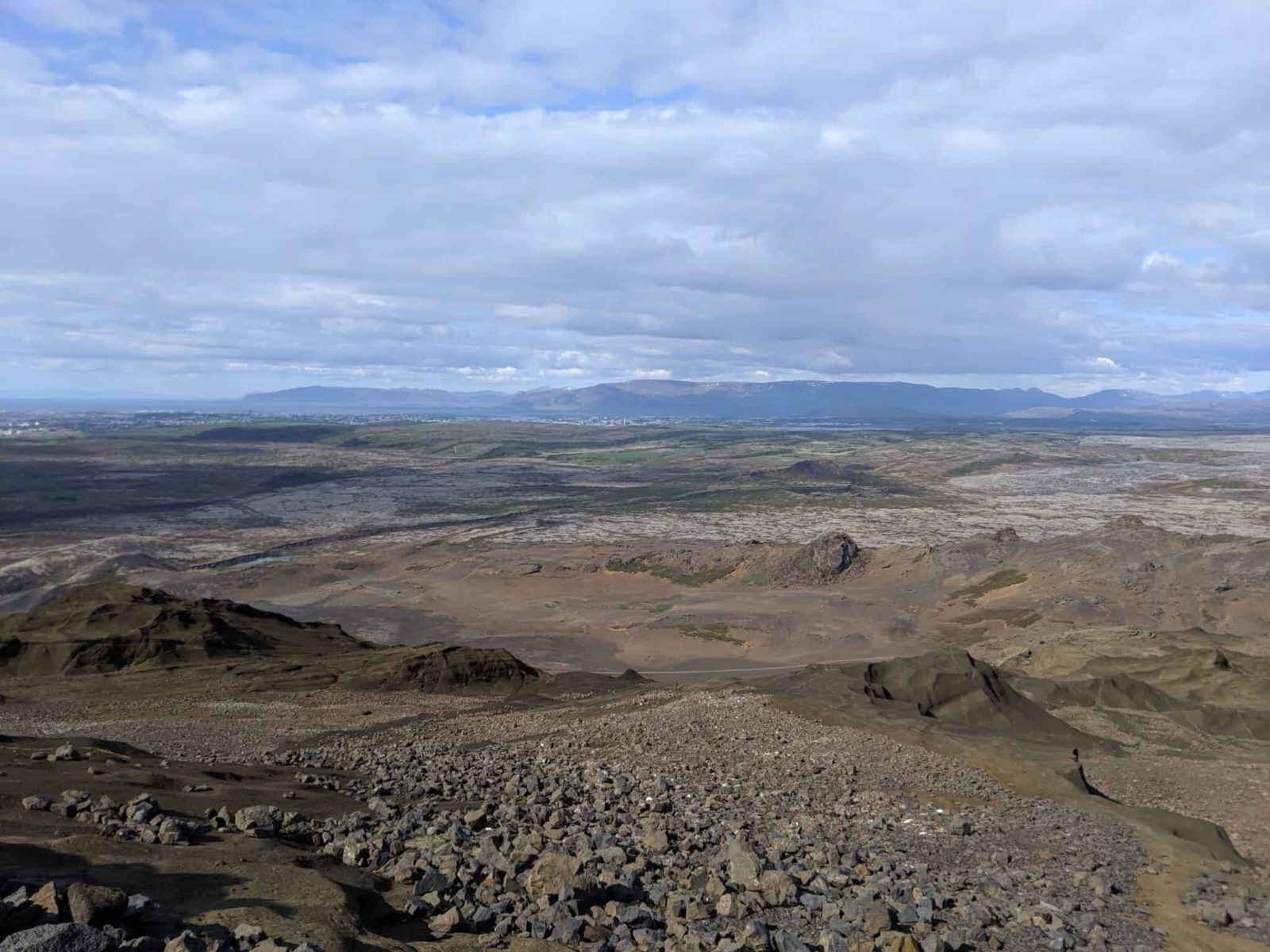
The Helgafell hiking trail does not take you high but the view is great
Helgafell is not high, its peak is only 386 meters high but it does have an impressive 360-degree view of Snæfellsjökull glacier in the west, Reykjavik and Mt. Esja to the north and west, the mountain range of Bláfjöll in the East and the Reykjanes peninsula to the East. Notice the pyramid shaped hill of Keilir to the east which I am pretty fond of although I have never been up there. Something to rectify soon.

See the trolls carved in the rock
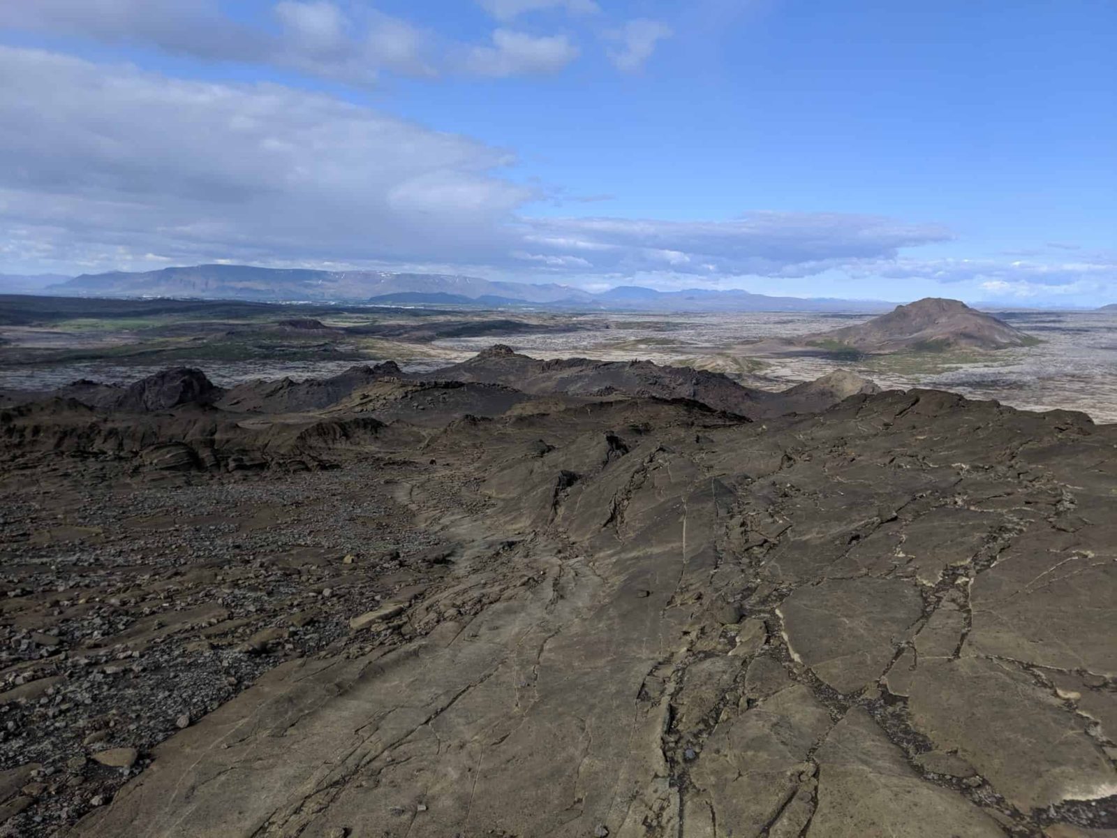
Park your car at the parking lot and walk a short distance down the road to the reservoir. Get some delicious water and head towards Helgafell. The trail has some seven or eight cairns along the way to the base of the hill. They are not ancient or anything if you are wondering! To find truly ancient cairns here in Iceland you will have to hike the Kjölur hiking trail. Then it is pretty straightforward on to the top. Notice the lovely sandstone formations and many eerie shapes in the rocks, reminding one of the hidden people and trolls that perhaps still stalk Iceland.
How to find the Helgafell hiking trail
Did you enjoy this article?
Get more Iceland insight — straight from a local who's lived here his entire life
Join 8,000 travellers getting honest Iceland advice and unlock exclusive discount codes from 50+ hand-picked Icelandic operators.- ✔ Instant access to exclusive discount codes
- ✔ Savings on tours, car and camper rentals
- ✔ Tips and inspiration for planning your Iceland trip
No spam. Unsubscribe any time.